|
LISTEN TO THIS THE AFRICANA VOICE ARTICLE NOW
Getting your Trinity Audio player ready...
|
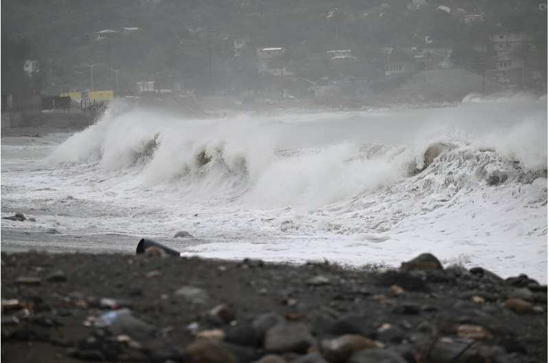
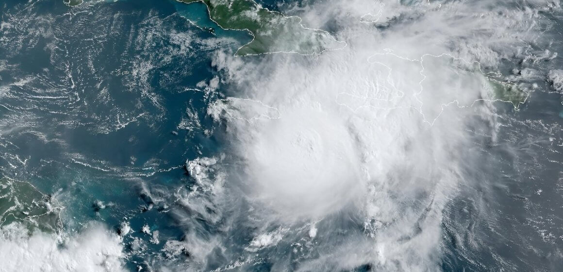
Hurricane Beryl, the first hurricane of the 2024 Atlantic season, made history by rapidly intensifying to a Category 5—the earliest instance on record—before slightly weakening to a Category 4 as it approached Jamaica Wednesday, July 3, 2024. This unprecedented early formation and intensification are attributed to record-high sea temperatures, significantly influenced by human-induced climate change and natural cyclical weather patterns, heightening concerns for a potentially severe hurricane season.
A Category 5 hurricane, the highest designation on the Saffir-Simpson Scale, brings winds exceeding 157 mph (252 kph), capable of inflicting catastrophic damage, including the complete destruction of homes and vital infrastructure. Historically, since 1960, only 30 Atlantic hurricanes have reached this intensity, with the record for most in a single season being four in 2005—the year Hurricane Katrina devastated New Orleans.
Anne-Claire Fontaine, a scientific officer with the United Nations’ World Meteorological Organization, explained that the Main Development Region (MDR), a critical area spanning from West Africa to the Caribbean, is experiencing its warmest temperatures on record, a factor critical to Beryl’s early and rapid development. Experts from NOAA note that the North Caribbean’s coastal waters are currently around 29.4°C (85°F), well above the 26.5°C (79.7°F) typically necessary to sustain a tropical cyclone.
As it moves toward Jamaica, Beryl is expected to unleash up to 12 inches (30 cm) of rain, posing significant risks to the Dominican Republic and Haiti along Hispaniola’s southern coast. Jamaican Prime Minister Andrew Holness has urgently called on citizens to reinforce their homes and stock essential supplies. In Haiti, where many are already displaced due to ongoing gang conflicts, the population is especially vulnerable.

Looking ahead, Beryl’s path includes the Cayman Islands, Belize, and the Gulf coasts of Mexico’s Yucatan Peninsula. Historically, hurricanes tend to weaken over land, but not before causing extensive damage. For perspective, the last severe hurricane to impact the southeastern Caribbean was Ivan in 2004, which caused widespread devastation across several countries, including Jamaica and Cuba, before weakening ahead of reaching the United States.
This year’s hurricane season is expected to be extraordinarily active, with NOAA predicting 17 to 25 named storms, 8 to 13 of which may become hurricanes, including up to seven major hurricanes. These predictions come as regional leaders advocate for improved financial mechanisms to better protect Caribbean populations from the escalating impacts of climate change.
This call for enhanced support is against a backdrop of a longstanding plea from Caribbean nations for wealthier countries and major global polluters to fulfill their commitments towards emission reduction goals, climate adaptation funding, and considering debt relief. A recent Reuters investigation revealed that much of the financial aid intended for developing nations to combat climate impacts is being redirected back to affluent countries, underscoring the complexities and challenges in global climate finance.
Hurricane seasons, which typically span from June to November with a peak in late summer, are driven by warm sea temperatures and high humidity. The Atlantic’s so-called “Hurricane Alley” remains a hotbed for storm development, with conditions this year pointing towards a particularly perilous season.


LEAVE A COMMENT
You must be logged in to post a comment.